
Lake Mapping – “Gettin’ to the bottom of it!”
The Hayden Lake Watershed Improvement District and Mark’s Marine have a goal to map the entire bottom of Hayden Lake! Will you lend a hand?
Hayden Lake Citizen Scientists play an important role in keeping the mission of the Watershed Improvement District alive. As they investigate the nature of the watershed and the lake, their learning draws all of us deeper into relationship with this beautiful, special place.

The Hayden Lake Watershed Improvement District and Mark’s Marine have a goal to map the entire bottom of Hayden Lake! Will you lend a hand?
Register here for the2022 Hayden Lake “Gettin’ to the Bottom of It”Community Lake Mapping Days!
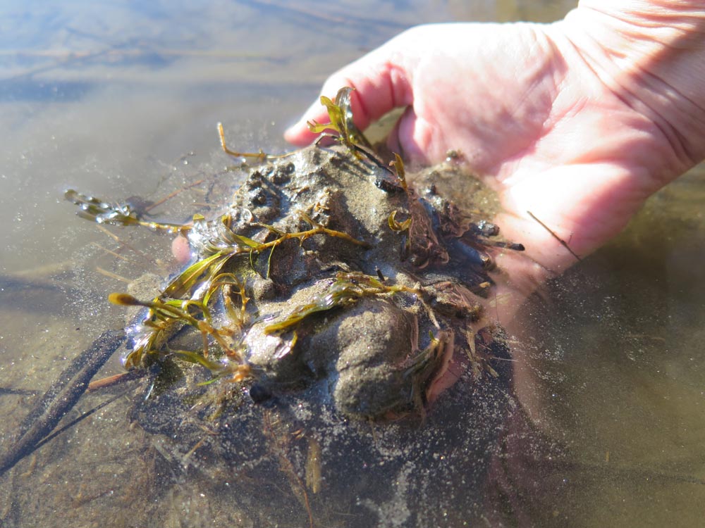
Northwest Expedition Academy 5th Graders brought their Ecosystem studies to bare on a sticky question with the aid of the HLWID.
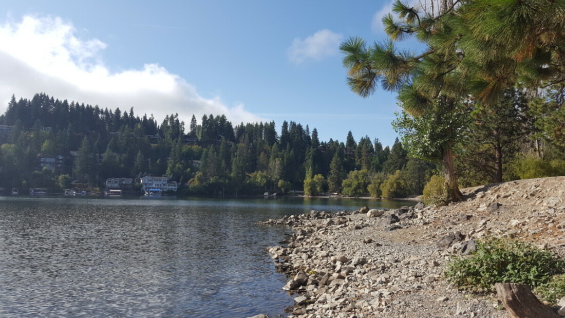
The elevation of Hayden Lake, like other small lakes in North Idaho, is not managed. There are no dams on the streams that feed the lake, no gates open or close to control storage levels. There are also no controls on the out-flow. The lake elevation is entirely subject to Mother Nature and human usage.
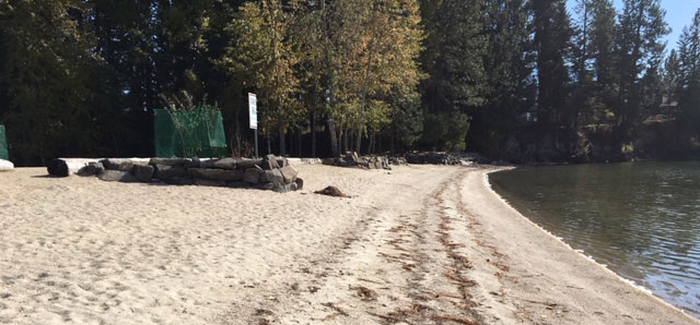
The popular conversation around Hayden Lake in the last cold days of October was that the lake level is low – lower than expected, lower than normal.

“I’ve always wanted to be a Geologist and now I’ve found my first geode!” Dakota K., 4th grader at Northwest Expeditionary Academy